Terms and Conditions
Effective Date: January 30, 2026
Last Updated: January 30, 2026
1. Agreement to Terms
These Terms and Conditions ("Terms") constitute a legally binding agreement between you ("User", "you") and KIMISUITE LTD ("Company", "we", "us"), a company registered in England and Wales with organization number 17243256, located at 128 City Road, London, EC1V 2NX, United Kingdom.
These Terms govern your use of the RoadRadar mobile application ("App") and the website https://road-radar.com ("Website").
By downloading, installing, accessing, or using the App or Website, you agree to be bound by these Terms. If you do not agree, you must not use the App or Website.
2. Description of Service
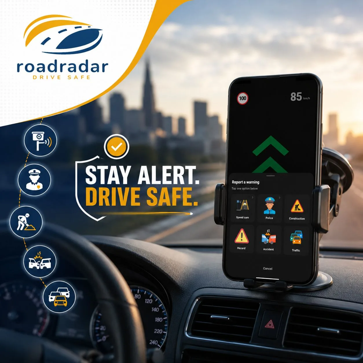
RoadRadar is a community-based traffic alert application that provides:
- Real-time notifications about speed cameras, police controls, and road hazards
- User-generated reports of traffic conditions
- Navigation assistance features
The App and Website are designed to promote road safety and must be used responsibly and in compliance with local traffic laws.
3. User Accounts
3.1 Account Creation
To access certain features, you must create an account using a valid email address, phone number, or third-party authentication (Google, Apple).
3.2 Account Responsibilities
You are responsible for:
- Maintaining the confidentiality of your account credentials
- All activities under your account
- Providing accurate and up-to-date information
- Notifying us immediately of any unauthorized access
3.3 Account Termination
We reserve the right to suspend or terminate accounts that:
- Violate these Terms
- Engage in fraudulent or illegal activities
- Abuse the reporting system
- Remain inactive for extended periods
4. Subscription and Payments
4.1 Subscription Plans
The App may offer subscription-based premium features. Subscription details, pricing, and features are displayed within the App.
4.2 Payment Processing
Payments are processed through the Apple App Store or Google Play Store. All transactions are subject to the respective platform's terms and conditions.
4.3 Cancellation and Refunds
- Subscriptions auto-renew unless cancelled before the renewal date
- Cancellation takes effect at the end of the current billing period
- Refund requests are handled according to the platform's refund policies
- No partial refunds are provided for unused portions of subscription periods
4.4 Free Trial
If a free trial is offered, it converts automatically into a paid subscription unless cancelled before the trial ends.
5. User Conduct and Content
5.1 Acceptable Use
You agree to:
- Use the App and Website only for lawful purposes
- Provide accurate traffic reports
- Respect other users and their contributions
- Comply with all applicable traffic laws while driving
5.2 Prohibited Activities
You must NOT:
- Submit false or misleading reports
- Use the App to evade law enforcement unlawfully
- Manipulate or abuse the reporting system
- Reverse engineer, decompile, or hack the App
- Use the App while operating a vehicle in an unsafe manner
- Share your account credentials
- Use automated systems to interact with the App
5.3 User-Generated Content
By submitting reports or content, you:
- Grant us a worldwide, royalty-free, non-exclusive license to use, display, and distribute your content
- Confirm the content is accurate to the best of your knowledge
- Accept responsibility for the content you submit
6. Intellectual Property
6.1 Our Rights
The App, Website (road-radar.com), design, features, software, and content are owned by KIMISUITE LTD and protected by intellectual property laws. You may not copy, modify, or distribute any part without written permission.
6.2 Trademarks
“RoadRadar”, “KIMISUITE”, and associated logos are trademarks of KIMISUITE LTD. Unauthorized use is prohibited.
7. Disclaimers
7.1 No Guarantee of Accuracy
Traffic information is provided "as is" and is based partly on community reports. We do not guarantee that information is accurate, complete, or current.
7.2 No Legal Advice
The App does not provide legal advice. The legality of speed camera detection or warning apps varies by jurisdiction. You are solely responsible for compliance with local laws.
7.3 Service Availability
We do not guarantee uninterrupted or error-free service. The App and Website may be unavailable due to maintenance, updates, or technical issues.
8. Limitation of Liability
8.1 Exclusion of Damages
To the maximum extent permitted by law, KIMISUITE LTD shall not be liable for:
- Indirect, incidental, or consequential damages
- Traffic violations, accidents, or injuries
- Loss of data or service interruptions
- Actions taken based on App information
8.2 Maximum Liability
Our total liability shall not exceed the amount paid by you for the App in the 12 months preceding the claim.
8.3 Legal Limitations
Some jurisdictions do not allow limitation of liability for certain damages. In such cases, liability is limited to the maximum extent permitted by law.
9. Indemnification
You agree to indemnify and hold harmless KIMISUITE LTD, its officers, employees, and affiliates from claims, damages, or expenses arising from:
- Your use of the App or Website
- Violation of these Terms
- Infringement of third-party rights
- Your user-generated content
10. Modifications to Terms
We may modify these Terms at any time. Significant changes will be communicated through the App, Website, or via email. Continued use constitutes acceptance of the updated Terms.
11. Governing Law and Disputes
11.1 Governing Law
These Terms are governed by the laws of England and Wales.
11.2 Dispute Resolution
Any disputes shall be resolved through:
- Good faith negotiations
- Mediation in London, United Kingdom
- the courts of England and Wales
11.3 Consumer Rights
If you are an EU consumer, mandatory consumer protection rights under your local law remain unaffected.
12. General Provisions
12.1 Entire Agreement
These Terms constitute the entire agreement between you and KIMISUITE LTD regarding RoadRadar and road-radar.com.
12.2 Severability
If any provision is invalid, the remaining provisions remain in effect.
12.3 Waiver
Failure to enforce any provision does not constitute a waiver.
12.4 Assignment
You may not assign your rights under these Terms. We may assign our rights to affiliates or successors.
13. Contact Information
For questions regarding these Terms:
KIMISUITE LTD
128 City Road
London, EC1V 2NX
United Kingdom
📧 Email: support@road-radar.com
🌍 Website: https://road-radar.com
By using RoadRadar or accessing road-radar.com, you acknowledge that you have read, understood, and agree to be bound by these Terms and Conditions.